Monday, June 29, 2009

warning road half closed

The term "northern zone" refers to the damaged sections of the Bowraville road north of Spicketts Creek, for which natural disaster funding is required.

Road regraded 12/13 April 2011 

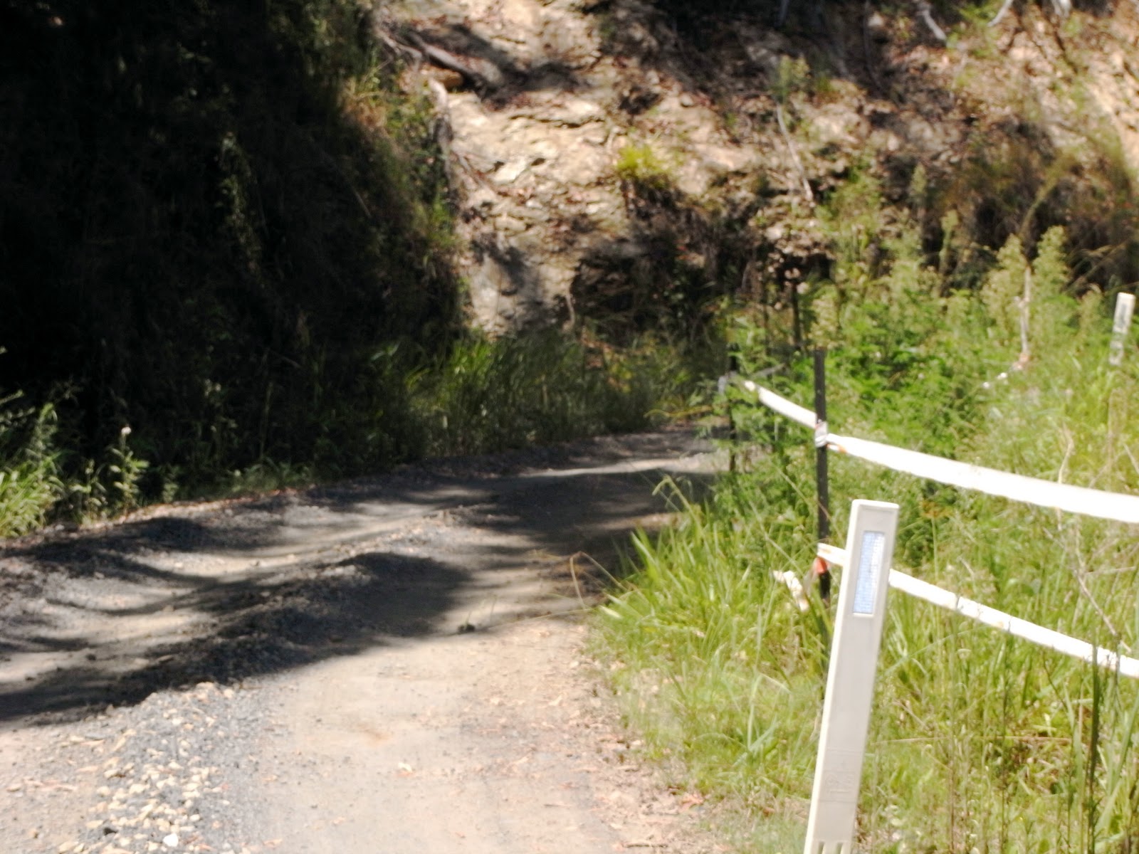
Warning of the problems ahead are shown by  the following photograph

click on map to enlarge

map of damaged sections of road prepared by GHD

The photographs that follow show the most damaged corners, which are the "inner" corners where storm water was funnelled  down to the road to pass through concrete drains under the road, to continue the downhill flow. The amount of water and mud was too great for the drains and spewed across the road and the road edge collapsed.


Following a storm on the night of 1 March 2011, many trees were brought down. Local property owners cut a way through to allow Spickett Creek residents to get home that night.

Council cleared the road on Thursday 3 March 2011,  for which the Spickett Creek residents are very grateful. 


Sunday, June 28, 2009

south of Williams road

Road regraded 12/13 April 2011

This tree is located about 100 metres south of Williams road, on the edge of Bowraville road .


Saturday, June 27, 2009

Dents valley corners

Dents valley corner north - 0.5 kilometres south of Williams road.

Road regraded 12/13 April 2011


Travelling south


Travelling north, the corner has safety markers which make a tight corner, forcing vehicles to the right.

Note: there is a blind corner about 40 metres past the pegged corner. If two vehicles meet at this point, there is only one lane!

Road widening was carried out in June 2009 by Bellingen shire council to create a single lane, with some safety margin away from the crumbling edge of the road.


rocks on road

Rocks on the road  28 April 2011


fallen rock


damaged cliff


Dents Valley south  - 0.6 kilometres south of Williams road


Travelling south
close up of road on the corner.

Note: the tyre track is only 300mm from the road drop off.

The concrete at the edge of the road was installed to support a concrete drain after a hole appeared in the road.  


The same corner but driving north.

After the rain, the unwary would keep to the left  to avoid the puddle and go very close to the edge!


The recommended solution for reconstructing corners involving water flows  are concrete splashways

concrete splashway on Basin road in Jaaingaa Nature Reserve

Friday, June 26, 2009

Dangerous trees - Northern zone


There are many fallen trees on Forest NSW land above the road in the northern zone.

The following is a letter from the CEO of ForestNSW and in an article in the Coffs Advocate on Wednesday 26 January 2011, it is stated that Bellingen Shire Council is following up to get these dangerous trees removed.


Thursday, June 25, 2009

Wednesday, June 24, 2009

Saturday, June 20, 2009

cliff falls corner

cliff falls corner - 1.0 kilometre south of Williams road Road regraded 12/13 April 2011


Note: There is no drain at this corner and the storm water runs along the side of the road to the next corner to cross the road.

Photo taken on 8 October 2011 travelling north - usable road is only 2.5 metres wide as inside washes away.


Thursday, June 18, 2009

cycad corner

cycad corner - 1.1 kilometres south of Williams road Road regraded 12/13 April 2011


This photo was taken a year ago. Now the road has deep ruts.


Driving north into Cycad corner in the rain in 2009
Now the grass and weeds have grown up and the edge is not as clearly defined, and therefore the road is more dangerous

Sunday, June 14, 2009

lone blackbutt corner

lone blackbutt corner - 1.15 kilometres south of Williams road Road regraded 12/13 April 2011

Wednesday, June 10, 2009

lone palm corner

lone palm corner - 1.2 kilometres from Williams road Road regraded 12/13 April 2011